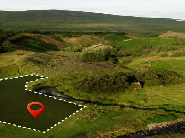
We provide precision ag consulting that connects your machinery data, field records, and agronomic systems into a single operational view. Scalable precision ag software built for farms and agribusinesses ready to make decisions from one shared picture, not five disconnected ones.
Turning machinery data, field maps, and agronomic records scattered across disconnected tools into a single operational platform that your whole team can act on — without ripping out what already works.
Testing whether a unified data platform actually improves decision-making before committing to a full precision ag software rollout across every farm, team, or business unit.
Expanding your existing precision ag stack with advanced capabilities — GIS overlays, IoT and machine telemetry, satellite imagery, or predictive analytics — once the operational foundation is in place.
Accelerate time to a unified view with precision ag consulting focused on integrating what you already have — not rebuilding it from scratch.
Connect only the systems and data sources that matter to daily decisions, avoiding the cost of a full platform replacement.
Our precision ag software starts with your existing machinery data, field maps, and records, so you can test the value of a unified view before expanding further.
Every integration is engineered on a scalable architecture, so you can add GIS, IoT, satellite, or AI capabilities later without starting over.
Your satellite, soil, and yield data are sitting in separate silos.
We integrate them into one intelligent field model.
Get a unified operational view faster with a team that combines deep agricultural data expertise, AI-powered integration workflows, and scalable software engineering.
Our AI-powered integration workflow and reusable engineering frameworks reduce delivery time by up to 40%, helping you move from disconnected systems to a shared view faster. From discovery to deployment, we focus on rapid iterations that maximize ROI while maintaining enterprise-grade quality.
From machinery telemetry and GIS to IoT, satellite imagery, and cloud platforms, our specialists understand the technologies generating your operational data — and how to connect them. With 10+ AI agents, 20+ AI MVPs delivered, and 25+ AI transformation projects, we build integrations designed for real agricultural operations, not generic data pipelines.
Every integration is engineered with production-ready architecture, DevOps automation, and cloud-native infrastructure, so your platform can grow without costly rebuilds. Our precision ag consulting creates a scalable data foundation that supports new sources, tools, and users as your operation expands.
“We worked with Qaltivate on the software for farm management. The team showed professionalism, and adeptness in managing changes. The pricing was transparent and their expertise really helped the success of our project.”
Under NDA
CTO, Under NDA
“Qaltivate team has been able to consult us on agrotech innovation trends which helped us to build a efficient creative campaign for one of our clients form agro business.”
Iryna Shostak
CEO, Linza Agency

Qaltivate is your go-to MVP development company for AgTech projects big and small.
Yurii Kovalchuk
CEO of Qaltivate

A 2018 research conducted by ESRI shows that 73% of farmers implement Geographic Information Systems (GIS) to monitor their crops. This technology assists them in refining field management, identifying pests and diseases early, and enhancing crop production.
Yurii Kovalchuk
CEO of Qaltivate
RFID cattle tracking gives every animal a unique electronic identity that can be read quickly and connected to its records. A typical system combines an RFID ear tag, a handheld or fixed reader, and cattle management software. Together, these components help farms identify animals, record events, support traceability, and reduce manual data entry.
Yurii Kovalchuk
CEO of Qaltivate